Drone and Land surveying
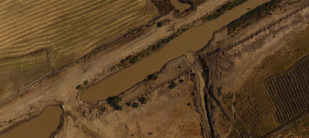
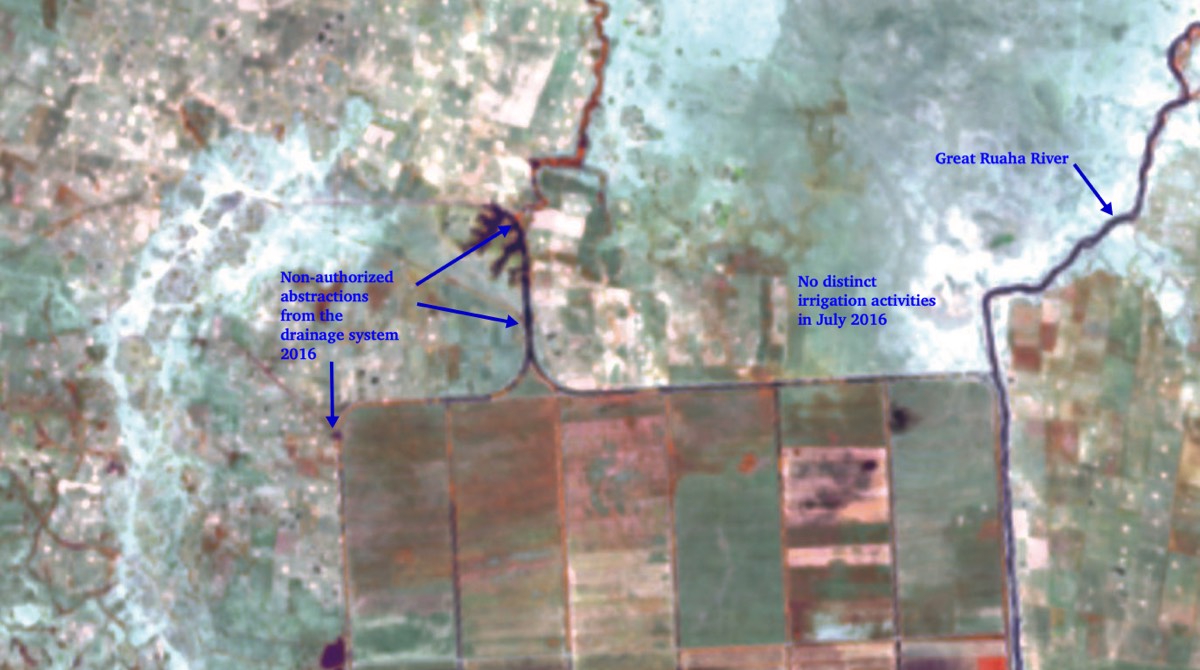
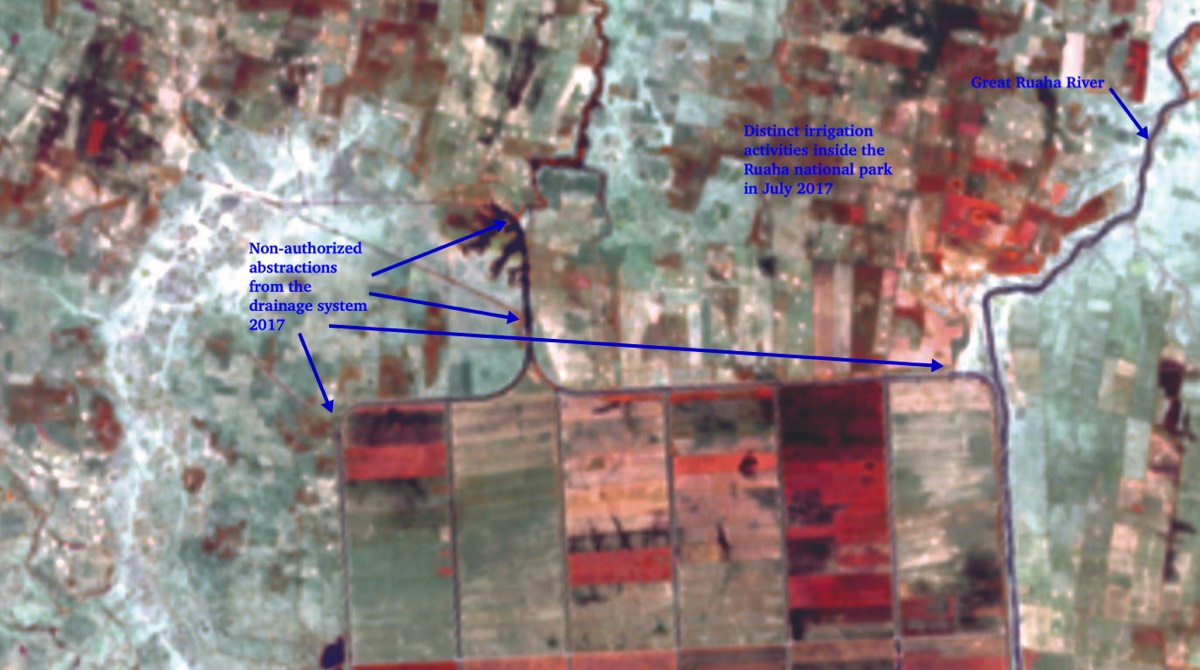
Especially in integrated water resource management activities, use of drones allows for swift identification of available resources, zones of environmental risks, man-made modifications (legal and illegal) of rivers and drainages systems and areas of (water) wastage that occur and hamper optimisation of water resources and allocations between the various water uses, being, water supply, agricultural water, livestock, industrial water and environmental flows. Combined with river flow assessments, it provides powerful tools to improve agricultural water management.
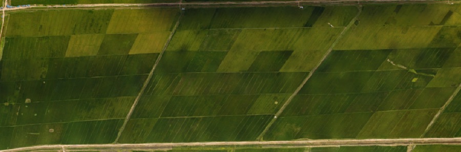
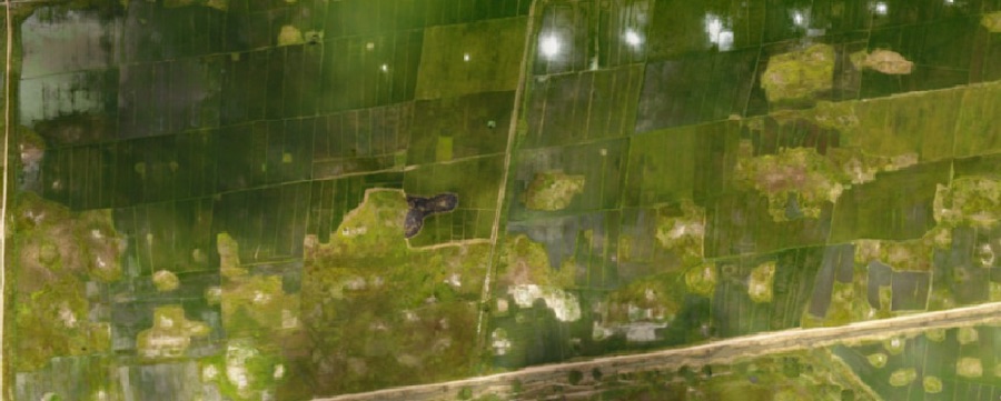
In the agricultural sector, drone images combined with the use of satellite images provided a powerful tool to detect the start of the irrigation season, the harvesting period, spells of drought or floods. Or areas that can not be dominated by the irrigation system or reversely are too low and at risk of inundation. These aspects impact on the water efficiency and the capacity od the irrigation systems to produce yields according to expectation. The irrigation conditions on the photos to the right deteriorate the more one moves in downstream direction of the same secondary channel. Total loss in this scheme was estimated to be around 15%
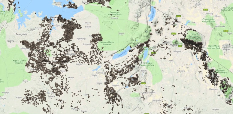
It allows the basin office staff to remotely monitor almost in real time the situation and allows for better decision-making and enforcement. This is especially important as the basins are so large that on-the-ground verification, is impossible to manage. Given the limited financial and human resources, basin offices in sub Sahara are endowed with, there is need for innovative approaches towards land and water management.
eMJee Consult has been involved (Together with IMC-worldwide , ONA and Stats4D) in the independent verification for the DFID funded PbR system, verifying 1in 2017 a sample of water points (46,000) in 128 LGA. Life-time monitoring of the movements of 28 teams and using tools to change the status on site, allowed to provide an opinion on the performance of the qualifying local governments to benefit from he performance-based system